Maps > 2005 Street Map
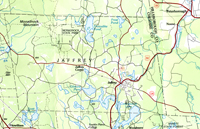
Jaffrey, N.H. Street Location MapThis map utilizes the same base as the 2007 Jaffrey Base Map and the 2008 Jaffrey Zoning Map, also produced by Cartographic Associates. It does not include land parcels. Roads and streets are listed along the left edge and are located by a alphanumeric grid system. In the lower left is the statement: "This map is based on the Town of Jaffrey property maps. It is intended for reference and planning purposes only." |
Click here to download and view a pdf of the Jaffrey Street Location Map ( 2005). |